A Pasadena-built yardstick for the world’s oceans
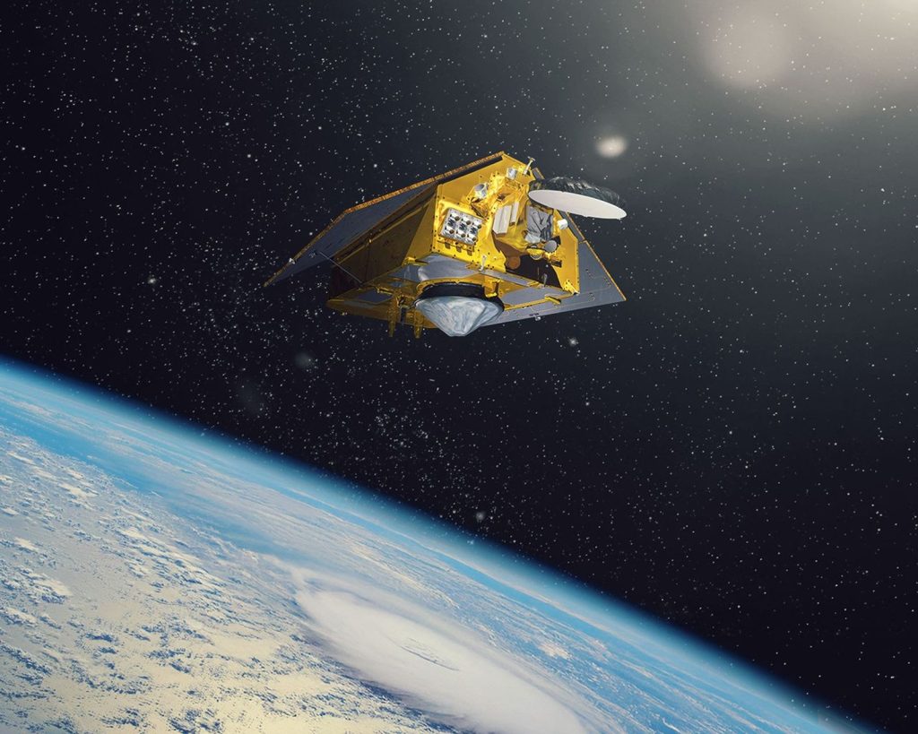
In January, a satellite carrying three instruments from NASA’s Jet Propulsion Laboratory in Pasadena takes over as the world’s reference for measuring sea level. NASA announced November 16 that Sentinel-6B has passed all of its initial system checks and, as of October 30, has been calibrated to serve as the go-to data source on sea level rise.
The handover matters because the reference satellite is the standard every other sea-level mission is measured against. When Sentinel-6B assumes the role in January, the measurements it returns will be the ones other missions calibrate their own data to. Its predecessor and twin, Sentinel-6 Michael Freilich, has held that role since its launch in 2020. The two satellites are flying the same orbit 30 seconds apart right now, measuring the same ocean so scientists can compare their readings directly before the switch.
How it measures the ocean
Sentinel-6B measures ocean height with a radar altimeter, bouncing thousands of radar pulses per second off the crests and troughs of waves and timing how long the reflections take to return. The same instrument measures the size of waves and the speed of winds over the sea. Because warm water expands, sea level also gives scientists a read on the volume of ocean water and its temperature.
The satellite flies 830 miles above Earth and repeats a global map every 10 days, surveying about 90 percent of the world’s oceans and measuring their height down to fractions of an inch. It is about the size of a pickup truck. It launched November 16, 2025, from Vandenberg Space Force Base, and its first measurements came back ten days later, in a map of sea levels across the Atlantic.
Why it matters here
The data the pair produces feeds directly into hurricane forecasts, coastal infrastructure planning, and shipping — the practical uses NASA cites for the mission. The two satellites are already providing data during what oceanographers expect to be a historic El Niño, the warming of Pacific waters that shapes weather well beyond the ocean, including California’s winter rain.
There is also a longer story at stake. Sentinel-6B and its twin make up the Copernicus Sentinel-6/Jason-CS mission, the latest in a line of ocean-observing radar altimetry missions that have monitored Earth’s seas continuously, along the same ground track, since the early 1990s. Keeping that record unbroken is the point of the handover: a gap or a drift in the measurements would blur a three-decade picture of a rising ocean.
The mission is a partnership of NASA, the European Space Agency, EUMETSAT, and NOAA, with the European Union’s Copernicus program. JPL, which Caltech manages for NASA, contributed three science instruments for each Sentinel-6 satellite: the Advanced Microwave Radiometer, the Global Navigation Satellite System radio occultation instrument, and the laser retroreflector array.
What to watch
Once the handover is complete in January, Sentinel-6 Michael Freilich will shift into an accompanying orbit, and the two satellites will work as a pair, providing higher-resolution data together than either can alone. The test to watch is whether the twin measurements stay in agreement through the transition — that is what the 30-second formation flying is for.
Sources: NASA/JPL, “NASA, European Sea Level Satellite Prepped for New Role” (Nov. 16, 2026); NASA Science, Sentinel-6 mission blog (Nov. 16, 2026); JPL, “Sentinel-6B’s ‘First Light’ Captures Atlantic Ocean Sea Level Data” (Dec. 16, 2025). Featured image: artist’s concept of Sentinel-6B in orbit. Photo: NASA/JPL-Caltech (public domain).
